Historical Canadian Mines Hub
Donna Beneteau initiated the development of this centralized map to visualize historical mines across Canada. This project involved reviewing provinical mining records to create a consistent, national dataset. As a personal hobby, Donna continues to enrich this by filling in missing information and welcomes contributions from others to correct or expand details. The platform is maintained by CHASR, and the public-facing site is hosted by CIM.org and the ArcGIS Living Atlas of the World. This project received direct support form the Underground Mining Society of CIM and the University of Saskatchewan.
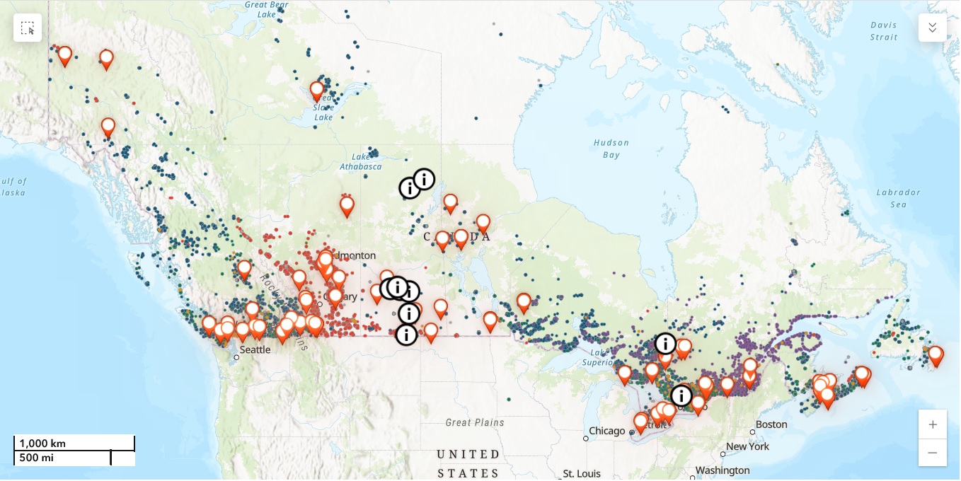
Users can interact with the map symbology to see information about each site, like in the image attached, where a popup reveals historical information about the McArthur River Uranium Deposit. They can also filter based on dates and specific commodities, find mining and geology museums, and find reading material about Canadian mining.

Free Sticker
This sticker is a simple reminder of how deeply minerals are woven into everyday life, from the phone in your hand to the buildings around you. Created by Bruce Downing and Donna Beneteau to spark curiosity and conversation, it is perfect for classrooms, outreach events, offices, or hard hats.
Free to download and share as part of our ongoing effort to improve mineral literacy and appreciation.